CRITERIA 1D is a one-dimensional agro-hydrological model. It includes soil water fluxes, crop development and water needs, a GIS interface (CRITERIA GEO) for geographical simulations and tools to manage crop and soil parameters.
The software is written in C++ using Qt libraries, so cross-platform building is possible (Windows, Linux, MacOS).
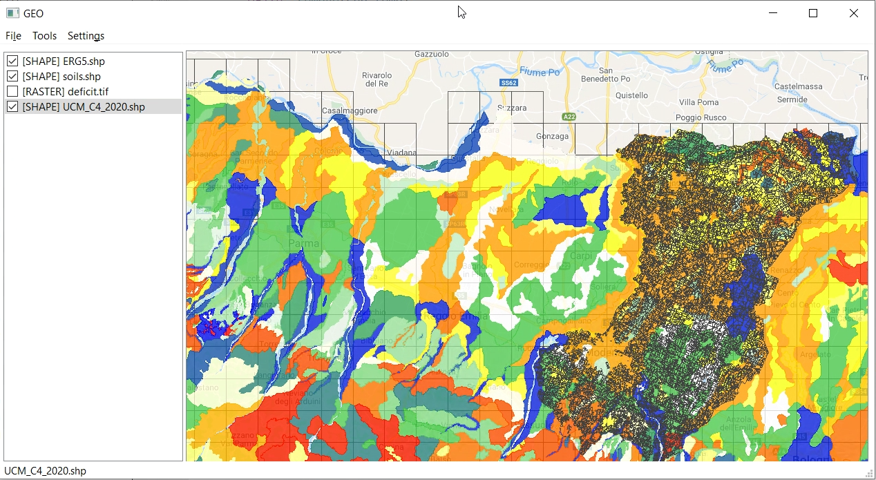
CRITERIA-GEO is a GIS interface for managing geographical input/output of CRITERIA-1D model: crop map, soil map, meteorological grid and computation units map. A computation unit is defined as a different combination of crop, soil and meteo data.
Screenshots
Установить
Если не работает, см. FAQ#1
Если кнопка не работает, см. FAQ #1
Как установить?
Скриншоты
Сайты
Источники
Точное совпадение
Совпадение в названии
Совпадение в описании
Приложения не найдены
Приложения по запросу "{0}" не найдены
Выберите "Все архитектуры" или расширьте ключевые слова поиска.
Проверьте опечатки или попробуйте другие ключевые слова.
Очистить поиск
Результатов: {0}
Не удалось загрузить приложения.