CRITERIA 1D is a one-dimensional agro-hydrological model. It includes soil water fluxes, crop development and water needs, a GIS interface (CRITERIA GEO) for geographical simulations and tools to manage crop and soil parameters.
The software is written in C++ using Qt libraries, so cross-platform building is possible (Windows, Linux, MacOS).
CRITERIA-GEO is a GIS interface for managing geographical input/output of CRITERIA-1D model: crop map, soil map, meteorological grid and computation units map. A computation unit is defined as a different combination of crop, soil and meteo data.
Screenshots
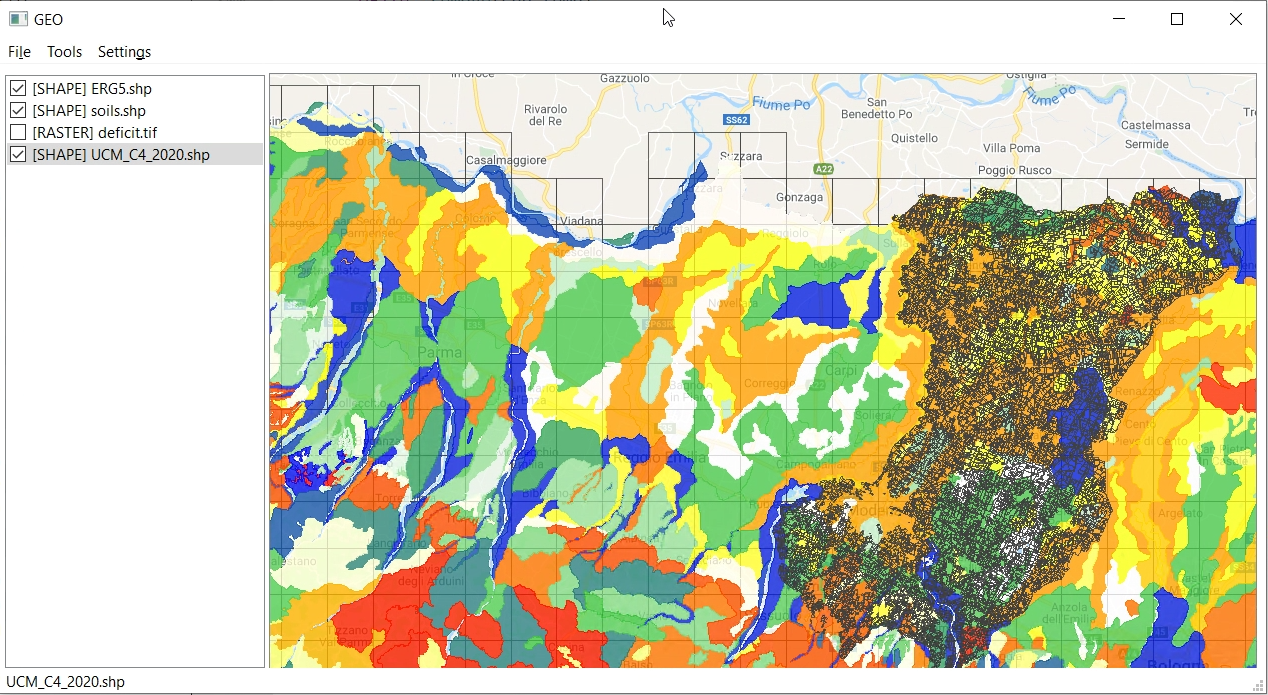
Install
If this does not work, see FAQ#1
If this button doesn't work, see FAQ #1
How to install?
Screenshots
Sites
Sources
Exact match
Name match
Description match
No applications found
No applications found matching "{0}"
Try selecting "All architectures" or broadening your search keywords.
Check for typos or try searching with different keywords.
Clear search
{0} results
Failed to load apps.